New 1-pager from USGS, Great Plains Fire Science Exchange, and SRFSN: New Operational National Satellite Burned Area Product. Land …
Continue Reading about New Operational National Satellite Burned Area Product
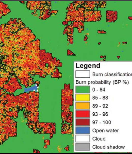
New 1-pager from USGS, Great Plains Fire Science Exchange, and SRFSN: New Operational National Satellite Burned Area Product. Land …
Continue Reading about New Operational National Satellite Burned Area Product
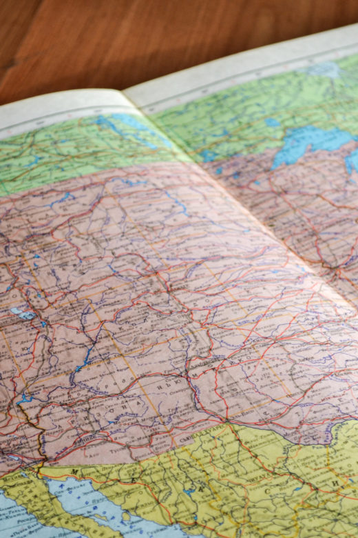
Interactive real-time wildfire and forest fire map for Colorado. See current wildfires and wildfire perimeters in Colorado on the …
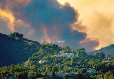
From the Rocky Mountain Research Station:For the first time, U.S. Forest Service Rocky Mountain Research …
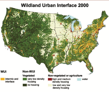
Download the publication here.The purpose of this project is to provide information on “the area where houses and wildland …
Continue Reading about The Wildland-Urban Interface in the United States
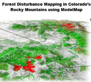
From the Rocky Mountain Research Station:Scientists and statisticians working for the Rocky Mountain Research Station have created …
Continue Reading about Painting a picture across the landscape with ModelMap
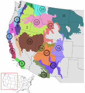
From the Rocky Mountain Research Station:A new paper by Sean Parks, a research ecologist with the Rocky Mountain Research Station …
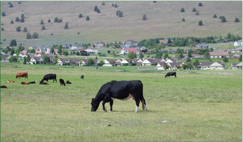
From the Rocky Mountain Research Station:When the words to the classic folk song “Home on the Range” were written in 1872, U.S. …
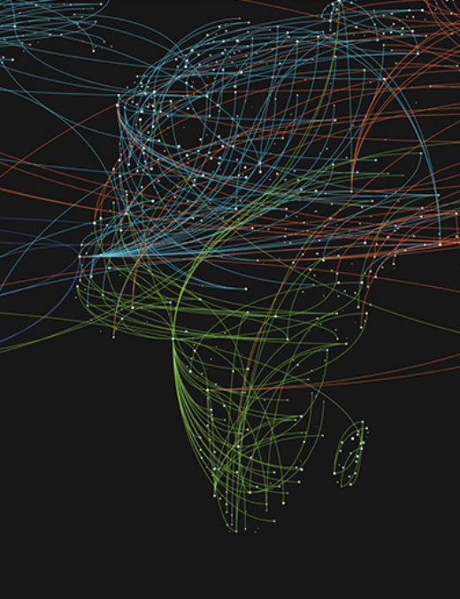
Check out the latest episode of a podcast from StateScoop summarizing GIS trends for 2019. GIS is an increasingly important tool …
Continue Reading about New podcast episode on 2019 GIS trends
