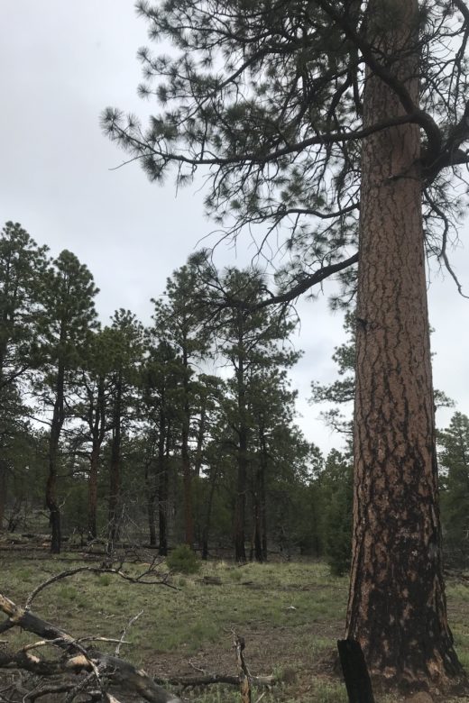
Full Bulletin: https://bit.ly/35gaRO2 Summary: The 2012 USDA Forest Service Planning rule requires that National Forests …
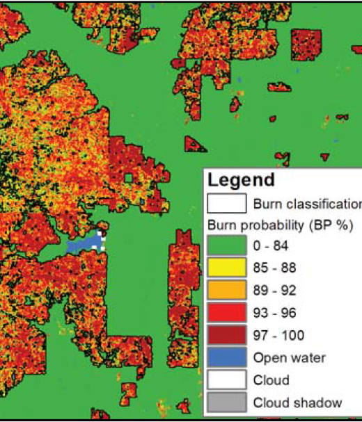
New Operational National Satellite Burned Area Product
New 1-pager from USGS, Great Plains Fire Science Exchange, and SRFSN: New Operational National Satellite Burned Area Product. Land …
Continue Reading about New Operational National Satellite Burned Area Product
Quantifying Pinyon-Juniper Reduction within North America’s Sagebrush Ecosystem
Documents patterns of conifer reduction across sage-grouse range over the past several years overlapping with concerted …
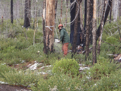
Snag Hazards to Firefighters
From the Rocky Mountain Research Station:Snags continue to pose an ever-present hazard to responders, and recent increases in fire …
Adoption of Machine Learning Techniques in Ecology and Earth Science
Adoption of Machine Learning Techniques in Ecology and Earth Science Anne E Thessen, The Ronin Institute for Independent …
Continue Reading about Adoption of Machine Learning Techniques in Ecology and Earth Science
WEBINAR: Old Data – The Wildfire You Didn’t See Coming
From Rezatec: “This webinar focuses on how remote technologies can inform and impact forest managers’ jobs. Information has …
Continue Reading about WEBINAR: Old Data – The Wildfire You Didn’t See Coming
New podcast episode on 2019 GIS trends
Check out the latest episode of a podcast from StateScoop summarizing GIS trends for 2019. GIS is an increasingly important tool …
Continue Reading about New podcast episode on 2019 GIS trends
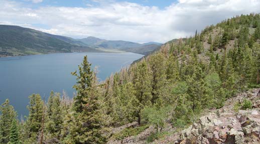
Application of Rangeland Health Indicators on Forested Plots on the Fishlake National Forest, Utah
View the publication here!Typical indicators of rangeland health are used to describe health and functionality of a variety of …


