Listen to the Podcasts HereLearn more about Indigenous knowledge and experience and how it can benefit fire science managers …
Rangeland Analysis Platform (RAP)
From USDA NRCS comes a free new online tool to help manage and monitor western rangelands. View a how-to webinar to learn the ins …
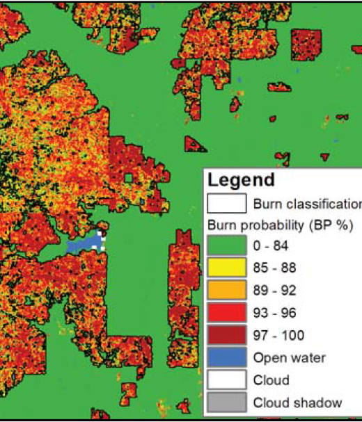
New Operational National Satellite Burned Area Product
New 1-pager from USGS, Great Plains Fire Science Exchange, and SRFSN: New Operational National Satellite Burned Area Product. Land …
Continue Reading about New Operational National Satellite Burned Area Product
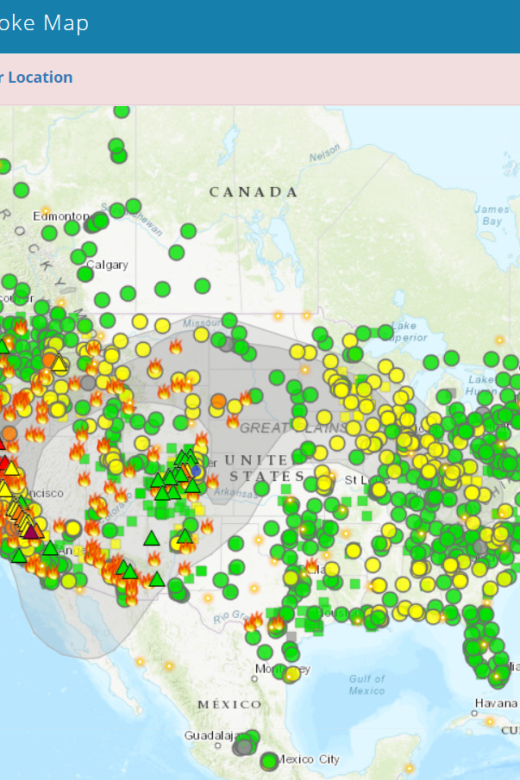
Fire and Smoke Map
The Fire and Smoke Map displays information on ground level air quality monitors recording fine particulates (PM2.5) from smoke …
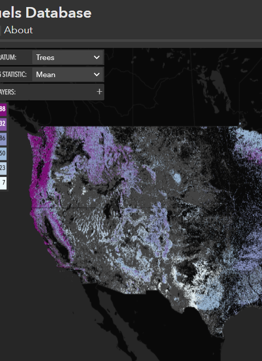
North American Wildland Fuels Database
NAWFD aggregates fuel loading information from 26,620 field sites compiled from 271 data sources. Each data point is assigned …
Continue Reading about North American Wildland Fuels Database
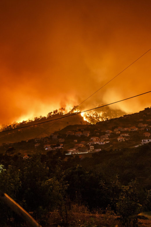
Reducing Wildfire Risk in the Wildland-Urban Interface: Policy, Trends, and Solutions
Increasing home development in wildfire-prone areas, coupled with climate change, are exacerbating wildfire risks to many …
Fire Weather Alert System
From the Rocky Mountain Research Station:The Fire Weather Alert System (FWAS) is designed to warn on-the-ground firefighters …
The Missoula Fire Lab Wildfire Emission Inventory
From the Rocky Mountain Research Station:To address the need of air regulators and land managers for improved wildfire pollutant …
Continue Reading about The Missoula Fire Lab Wildfire Emission Inventory

