WFEIS is a web-based tool that provides users a simple interface for calculating wildland fire emissions across the US and Canada …
Continue Reading about WFEIS: Wildland Fire Emissions Information System
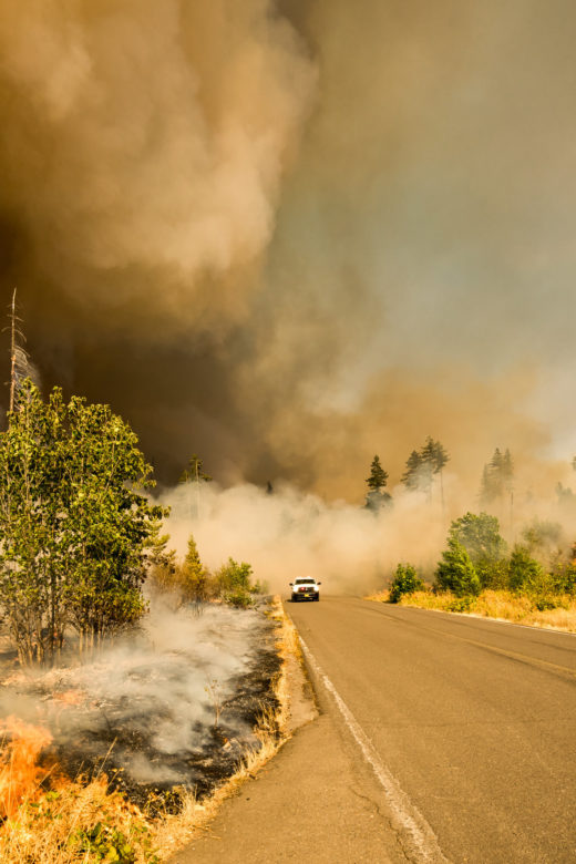
WFEIS is a web-based tool that provides users a simple interface for calculating wildland fire emissions across the US and Canada …
Continue Reading about WFEIS: Wildland Fire Emissions Information System
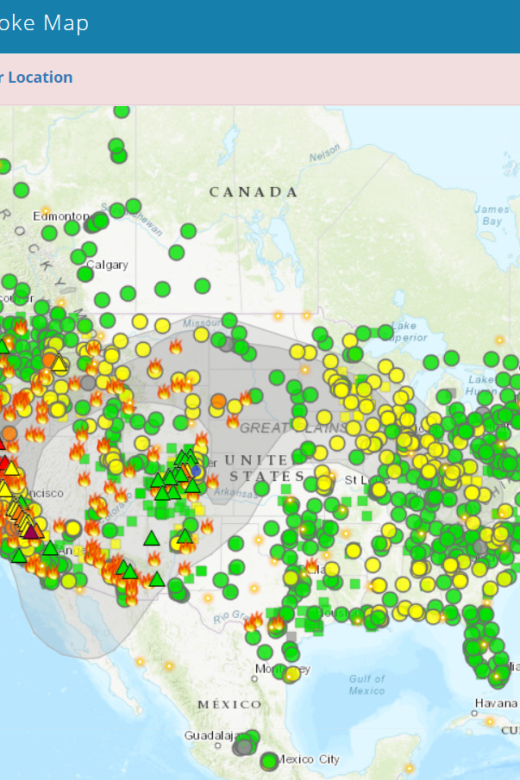
The Fire and Smoke Map displays information on ground level air quality monitors recording fine particulates (PM2.5) from smoke …
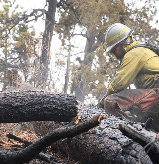
With a busy fire season already upon us, researchers at Colorado State University (CSU) looked into the potential for a massive …
Continue Reading about Epidemic model shows how COVID-19 could spread through firefighting camps

Interactive real-time wildfire and forest fire map for Colorado. See current wildfires and wildfire perimeters in Colorado on the …
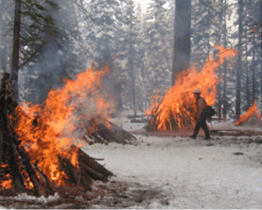
Fact sheet for making small-batch biochar yourself from Utah State University. This tool can be used reduce hazardous fuel loading …
Continue Reading about Hazardous Fuels Reduction Using Flame Cap Biochar Kilns
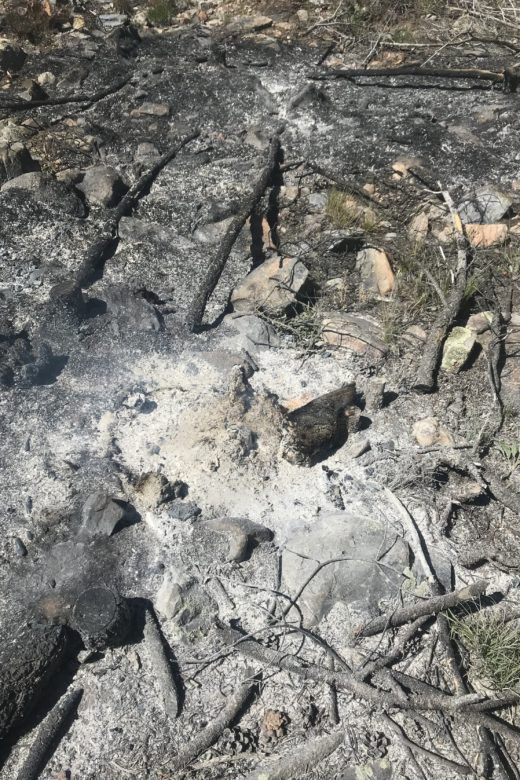
Developed for counties, tribes, municipalities, and water providers, the post-fire playbook was designed to fill in the gaps in …
Continue Reading about Colorado Dept of Public Health & Environment Post-Fire Playbook
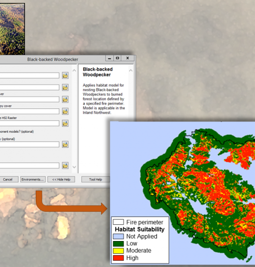
The FIRE-BIRD tool developed by RMRS researchers aims to help managers make better decisions for maintaining key wildlife habitat …
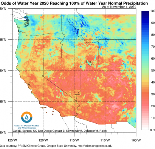
This interactive website includes information on upcoming storms, post-storm reports, and the latest research on weather and …
Continue Reading about Center for Western Weather and Water Extremes
