Science You Can Use BulletinMain “After the Fire Toolkit” WebsiteAbstract: Wildfires are an important natural disturbance in …
Smoke and Roadway Safety Guide
Smoke and Roadway Safety Guide from the National Wildfire Coordinating Group.https://www.nwcg.gov/publications/477 …
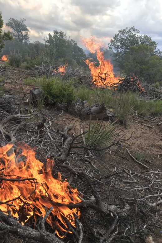
Piled Fuels Biomass and Emissions Calculator
Calculate an estimation for biomass and potential emissions from piled wildland fuels. Piled fuels Biomass and Emissions …
Continue Reading about Piled Fuels Biomass and Emissions Calculator
Rangeland Analysis Platform (RAP)
From USDA NRCS comes a free new online tool to help manage and monitor western rangelands. View a how-to webinar to learn the ins …
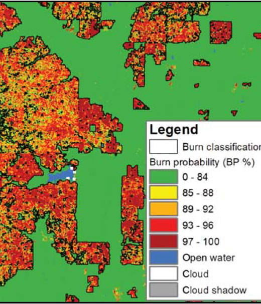
New Operational National Satellite Burned Area Product
New 1-pager from USGS, Great Plains Fire Science Exchange, and SRFSN: New Operational National Satellite Burned Area Product. Land …
Continue Reading about New Operational National Satellite Burned Area Product
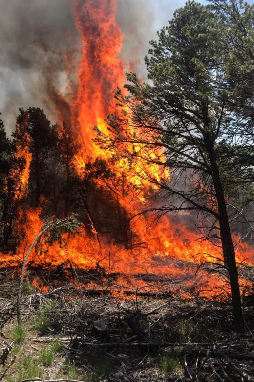
IFTDSS: Interagency Fuel Treatment Decision Support System
Many tools available through the IFTDSS portal here: https://iftdss.firenet.gov/landing_page/Thumbnail Photo by Tyler Gilbert, The …
Continue Reading about IFTDSS: Interagency Fuel Treatment Decision Support System
Quantitative Wildfire Risk Assessment (QWRA)
A workflow and tools to perform a Quantitative Wildfire Risk Assessment (QWRA) from the project to the unit scale is now available …
Continue Reading about Quantitative Wildfire Risk Assessment (QWRA)
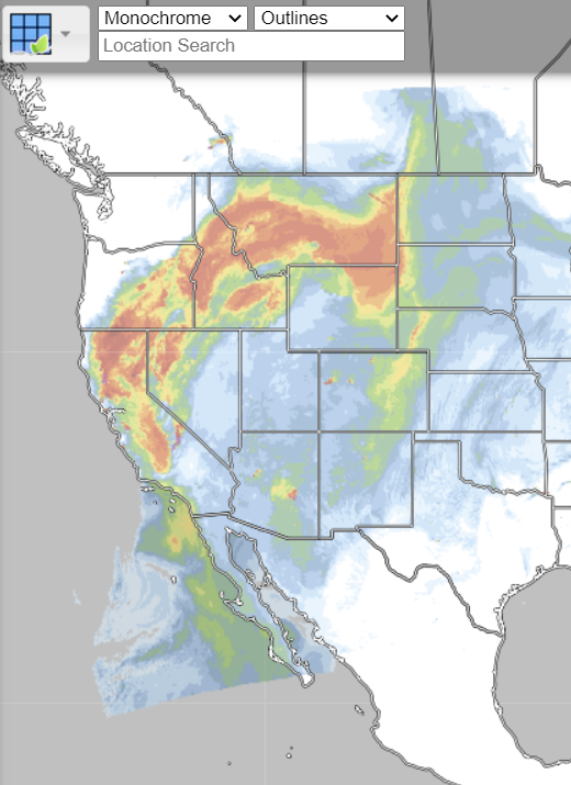
Real Earth Interface
RealEarth is a data discovery and visualization platform developed at SSEC/CIMSS at the University of Wisconsin-Madison.Web …

