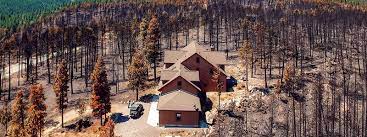
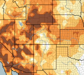
Full Database Here Idaho residents who live in or near the urban/rangeland interface endure higher risk for fire-related …
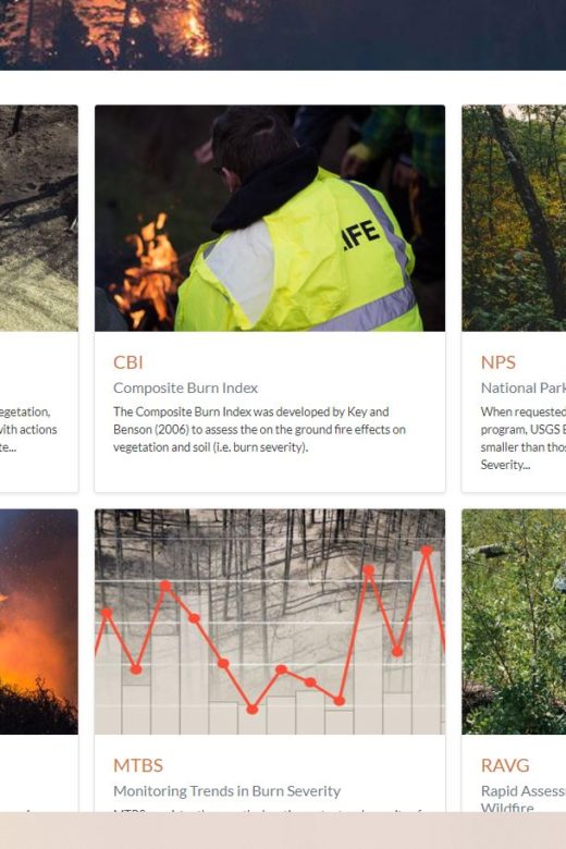
Burn Severity Portal
From the U.S. Forest Service and Department of Interior. The intent of this web portal is to provide a single point of access to …
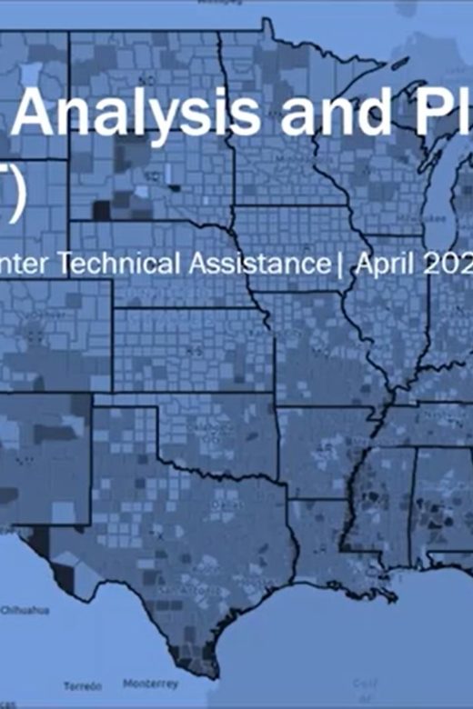
Resilience Analysis and Planning Tool
The Resilience Analysis and Planning Tool (RAPT) is a geographic information system webmap tool. The tool allows users to …
Continue Reading about Resilience Analysis and Planning Tool
Scenario Investment Planning Platform
The Rocky Mountain Research Station has recently released an article discussing one of their new models: FORSYS. Those involved …
Continue Reading about Scenario Investment Planning Platform
Cool Tool: Hot-Dry-Windy Index
A new tool that maps the Hot-Dry-Windy Index across the U.S. has been published online. This tool is useful for fire managers and …
Post-fire conditions in various fuel models in the Southern Rockies region
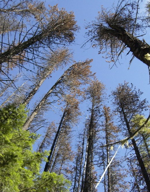
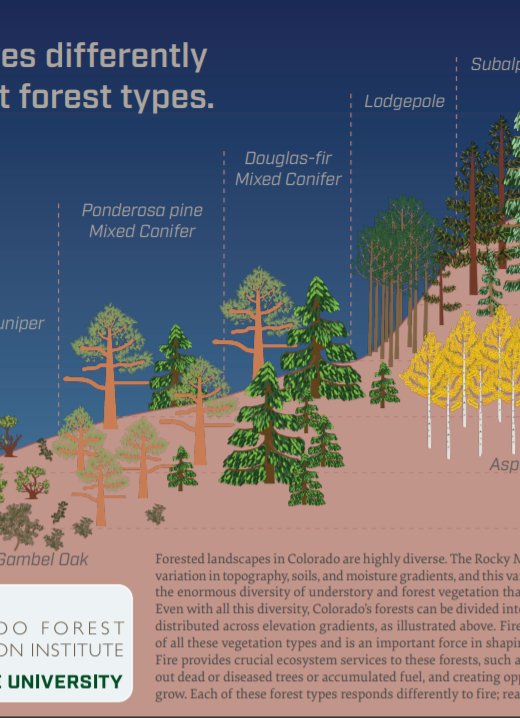
Full Infographic HereForested landscapes in Colorado are highly diverse. The Rocky Mountains create incredible variation in …
Continue Reading about Post-fire conditions in various fuel models in the Southern Rockies region
FireCLIME VA: A New Fire and Climate Vulnerability Assessment Tool for the U.S. Southwest
New fire and climate vulnerability assessment tool for the SW US. FireCLIME VA allows users to compare mgmt. strategies under …
‘Neighborhoods at Risk’: FREE virtual tool for climate change impacts
Headwaters Economics has developed a free, national tool to evaluate the impacts of climate change on the most vulnerable …
Continue Reading about ‘Neighborhoods at Risk’: FREE virtual tool for climate change impacts

