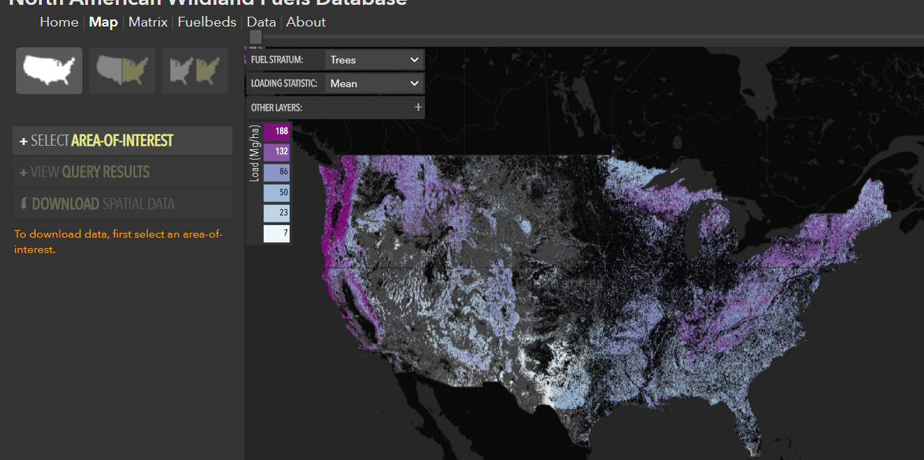
NAWFD aggregates fuel loading information from 26,620 field sites compiled from 271 data sources. Each data point is assigned to an EVT Group fuelbed. Probability distributions are generated for each fuel stratum within each fuelbed.
Prichard, S. J., Kennedy, M. C., Andreu, A. G., Eagle, P. C., French, N. H., & Billmire, M. (2019). Next‐generation biomass mapping for regional emissions and carbon inventories: Incorporating uncertainty in wildland fuel characterization. Journal of Geophysical Research: Biogeosciences, 124. https://doi.org/10.1029/2019JG005083

