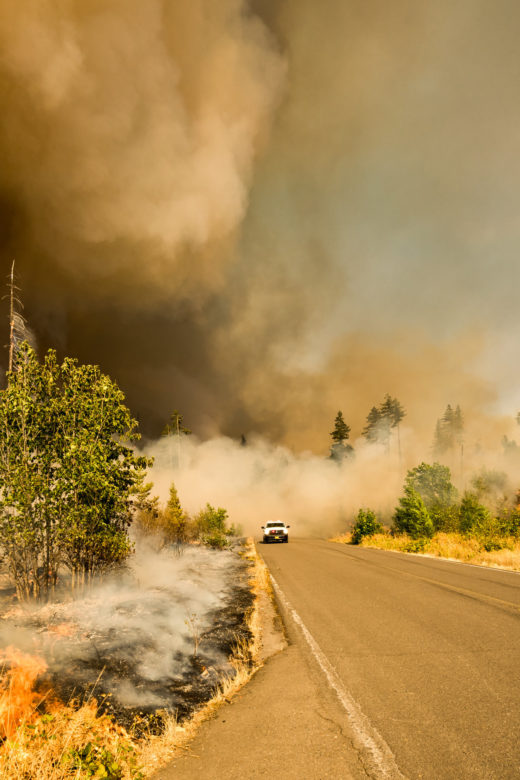
Smoke and Roadway Safety Guide from the National Wildfire Coordinating Group.https://www.nwcg.gov/publications/477 …
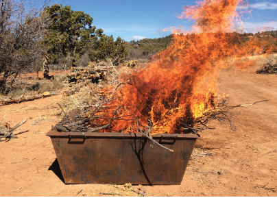
Biochar kilns: A simple and innovative approach to removing hazardous fuels and improve forest health
The Southern Rockies Fire Science Network (SRFSN) is collaborating with Utah State University (USU) Forestry Extension to …
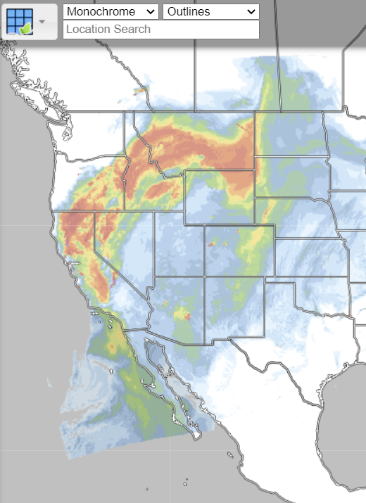
Real Earth Interface
RealEarth is a data discovery and visualization platform developed at SSEC/CIMSS at the University of Wisconsin-Madison.Web …
WFEIS: Wildland Fire Emissions Information System
WFEIS is a web-based tool that provides users a simple interface for calculating wildland fire emissions across the US and Canada …
Continue Reading about WFEIS: Wildland Fire Emissions Information System
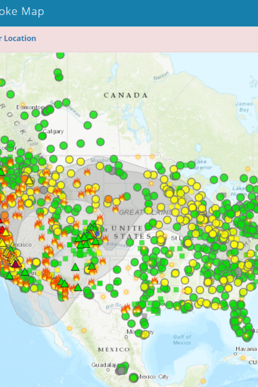
Fire and Smoke Map
The Fire and Smoke Map displays information on ground level air quality monitors recording fine particulates (PM2.5) from smoke …
Mapping Fuels for Regional Smoke Management and Emissions Inventories Final Report
View the full report hereAbstract: Fuels are highly variable and dynamic in space and time, and fuel loading can vary considerably …

