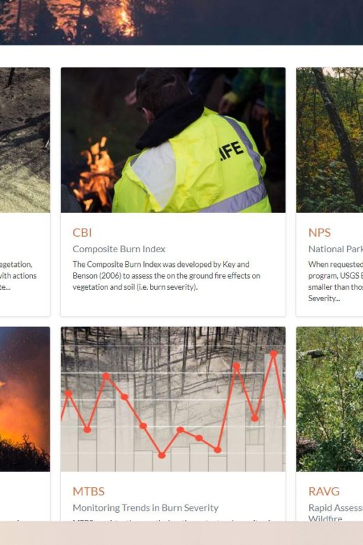
From the U.S. Forest Service and Department of Interior. The intent of this web portal is to provide a single point of access to …
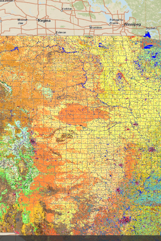
LANDFIRE Remap in the Southwestern U.S: “Mega” Southwest U.S. Webinar
Webinar RecordingFRAMES Resource PageWebinar co-hosted with LANDFIRE on October 9, 2019, by the Southern Rockies, Great Basin and …
Continue Reading about LANDFIRE Remap in the Southwestern U.S: “Mega” Southwest U.S. Webinar
Where’s the Biomass? A New Approach for Quantifying Biomass and Carbon in the Western United States
Full Bulletin: https://bit.ly/35gaRO2 Summary: The 2012 USDA Forest Service Planning rule requires that National Forests …
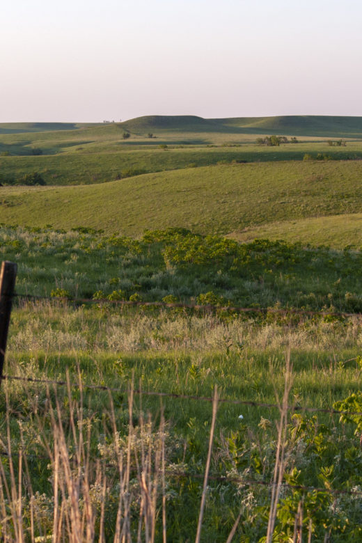
Rangeland Analysis Platform (RAP)
From USDA NRCS comes a free new online tool to help manage and monitor western rangelands. View a how-to webinar to learn the ins …
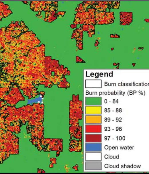
New Operational National Satellite Burned Area Product
New 1-pager from USGS, Great Plains Fire Science Exchange, and SRFSN: New Operational National Satellite Burned Area Product. Land …
Continue Reading about New Operational National Satellite Burned Area Product
Using FIA Data to Predict Forest Understory Vegetation Structure
From the Rocky Mountain Research Station:Understory vegetation is a significant component of terrestrial carbon stocks and play an …
Continue Reading about Using FIA Data to Predict Forest Understory Vegetation Structure
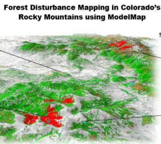
Painting a picture across the landscape with ModelMap
From the Rocky Mountain Research Station:Scientists and statisticians working for the Rocky Mountain Research Station have created …
Continue Reading about Painting a picture across the landscape with ModelMap
New podcast episode on 2019 GIS trends
Check out the latest episode of a podcast from StateScoop summarizing GIS trends for 2019. GIS is an increasingly important tool …
Continue Reading about New podcast episode on 2019 GIS trends

