Download Full PDF Here Abstract: Since 2000, the Black Hills National Forest (BHNF) has experienced several disturbances that …
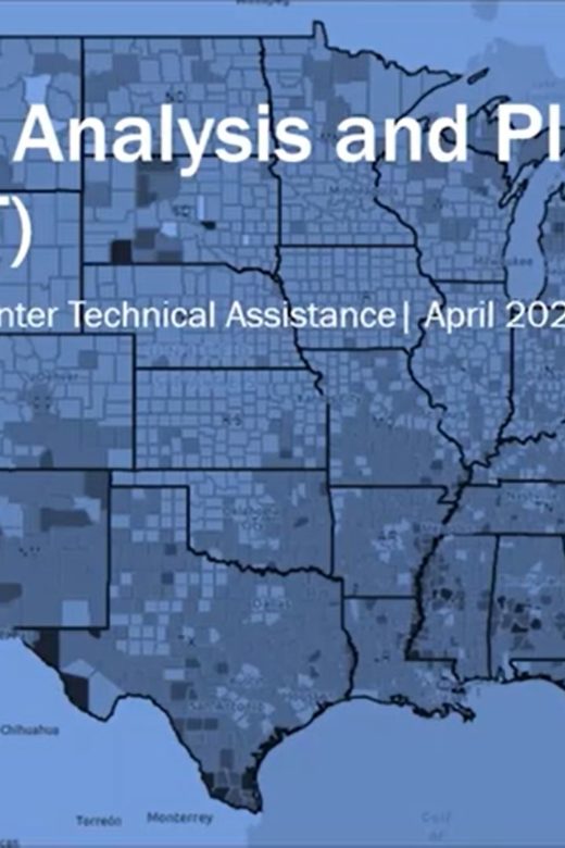
Resilience Analysis and Planning Tool
The Resilience Analysis and Planning Tool (RAPT) is a geographic information system webmap tool. The tool allows users to …
Continue Reading about Resilience Analysis and Planning Tool
Collaboratively Engaging Stakeholders to Develop Potential Operational Delineations (PODs)
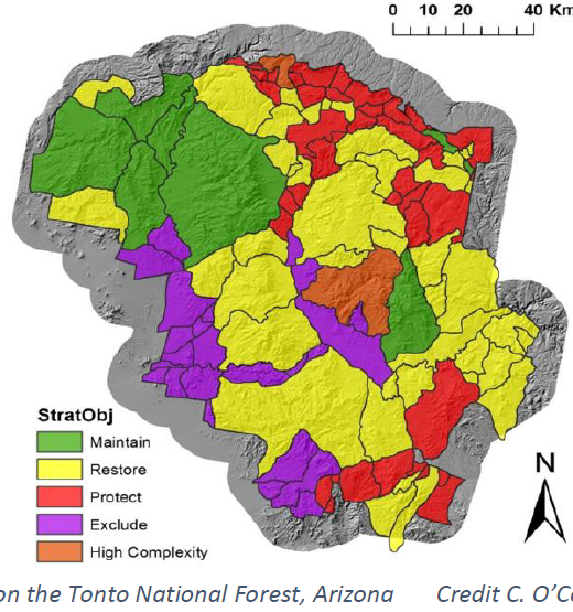
Prioritization of management units on a forest-wide scale can often be a challenging and daunting task for forest staff. In this …
Rangeland Analysis Platform (RAP)
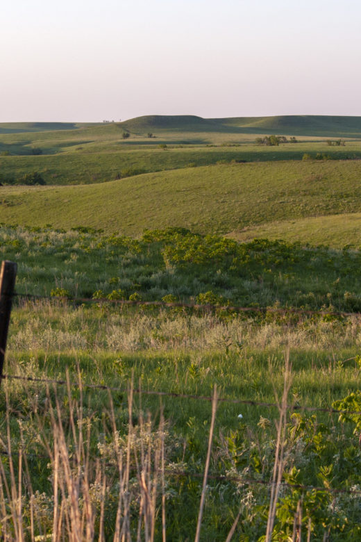
From USDA NRCS comes a free new online tool to help manage and monitor western rangelands. View a how-to webinar to learn the ins …
Reducing Wildfire Risk in the Wildland-Urban Interface: Policy, Trends, and Solutions
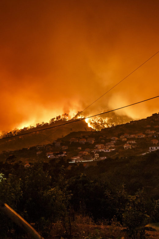
Increasing home development in wildfire-prone areas, coupled with climate change, are exacerbating wildfire risks to many …
Land use planning can reduce wildfire risk to homes and communities
Wildfire risk to people and homes is increasing. While climate change and decades of fuel buildup have exacerbated wildfires, …
Continue Reading about Land use planning can reduce wildfire risk to homes and communities
Federal wildfire policy and the legacy of suppression
Federal wildfire policy that emphasizes suppression—a legacy of early-1900s forest management—has resulted in a paradox: …
Continue Reading about Federal wildfire policy and the legacy of suppression
Fire and forethought: Fire effects syntheses are a powerful tool for planning and management across resource fields
From the Rocky Mountain Research Station:The Rocky Mountain Research Station’s Fire Effects Information System (FEIS) team …

