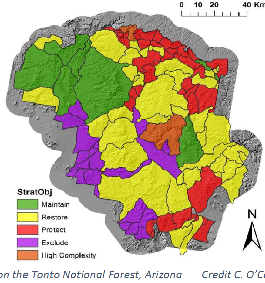
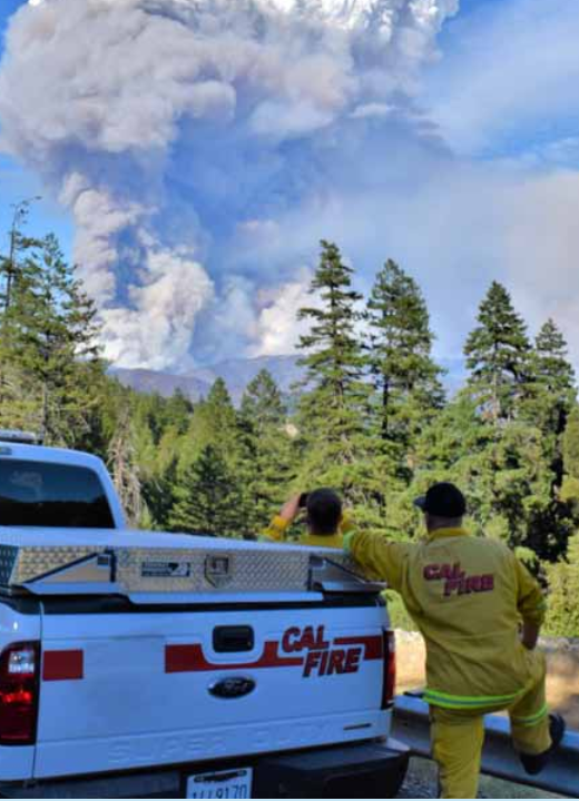
Prioritization of management units on a forest-wide scale can often be a challenging and daunting task for forest staff. In this …
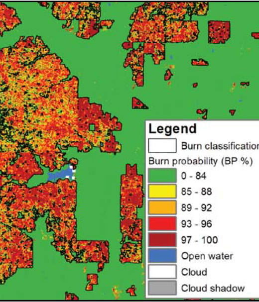
New Operational National Satellite Burned Area Product
New 1-pager from USGS, Great Plains Fire Science Exchange, and SRFSN: New Operational National Satellite Burned Area Product. Land …
Continue Reading about New Operational National Satellite Burned Area Product
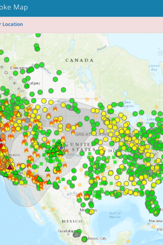
Fire and Smoke Map
The Fire and Smoke Map displays information on ground level air quality monitors recording fine particulates (PM2.5) from smoke …
Reducing Wildfire Risk in the Wildland-Urban Interface: Policy, Trends, and Solutions
Increasing home development in wildfire-prone areas, coupled with climate change, are exacerbating wildfire risks to many …
Wildfire Trends Across the Western US: Forest Fires Have Increased in Size, Severity, and Frequency Across Western Forests
Wildfires have increased in size, severity, and frequency in most western forests over the last three decades, as demonstrated by …
Fire Weather Alert System
From the Rocky Mountain Research Station:The Fire Weather Alert System (FWAS) is designed to warn on-the-ground firefighters …
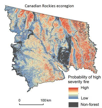
Next Generation Fire Severity Mapping
From the Rocky Mountain Research Station:The Next Generation Fire Severity Mapping is a tool designed to depict the probability of …
Continue Reading about Next Generation Fire Severity Mapping
Fire Science Digest- The Rothermel Fire-Spread Model: Still Running Like a Champ
View the publication here!In 1972, aeronautical engineer Richard C. Rothermel, of the USDA Fire Sciences Lab at Missoula, Montana, …

