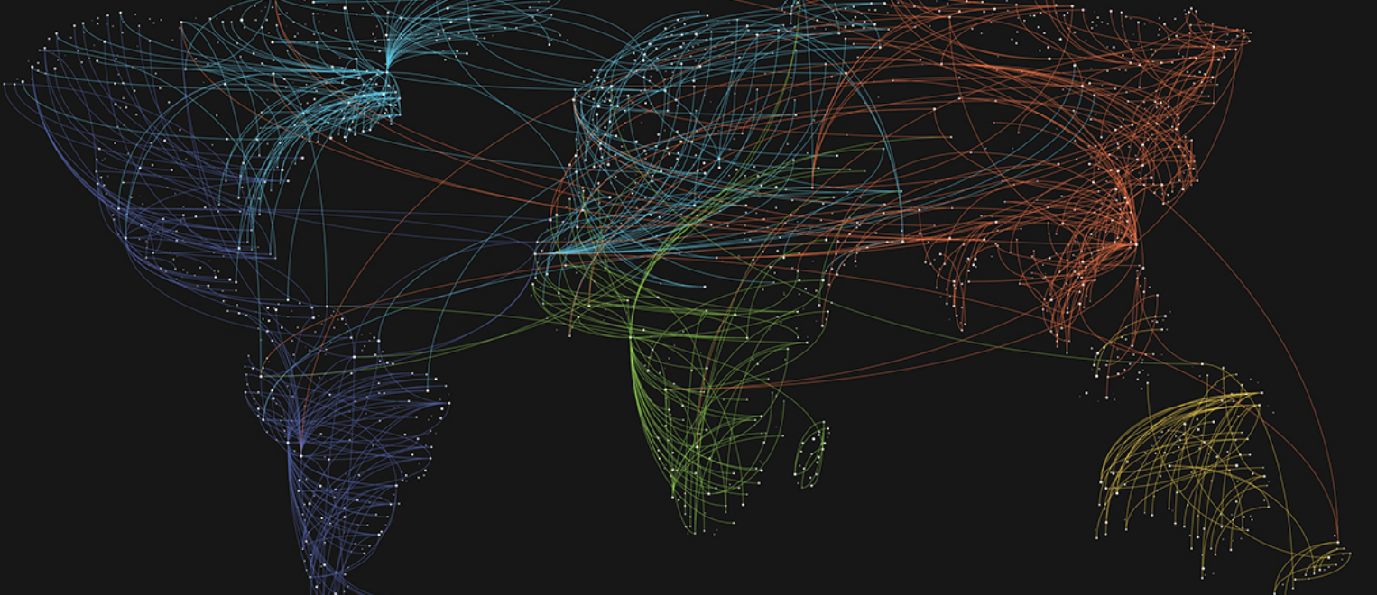
Check out the latest episode of a podcast from StateScoop summarizing GIS trends for 2019. GIS is an increasingly important tool for us in sagebrush country, from Wyoming’s Density and Disturbance Calculation Tool to using remote sensing to map the vegetation canopy and density.
Highlights include: Almost two years after the landmark passage of the Geospatial Data Act, geospatial information systems leaders in state government are pivoting to maximize the power of map-based data.

